Manually Draw a New Asset 
By: TerrainDrop on Aug. 2, 2022, 5:41 p.m.
Assets are used to define a set of physical features that are in a fixed location. These features might be things that you want to see all of the images of on a regular basis as datasets are added to the system for the surrounding area. Each feature in an Asset can be reported on individually.
There are two ways to create Assets: manually drawing and importing from KML, GPX, GeoJSON or WKT. This article will cover manual entry.
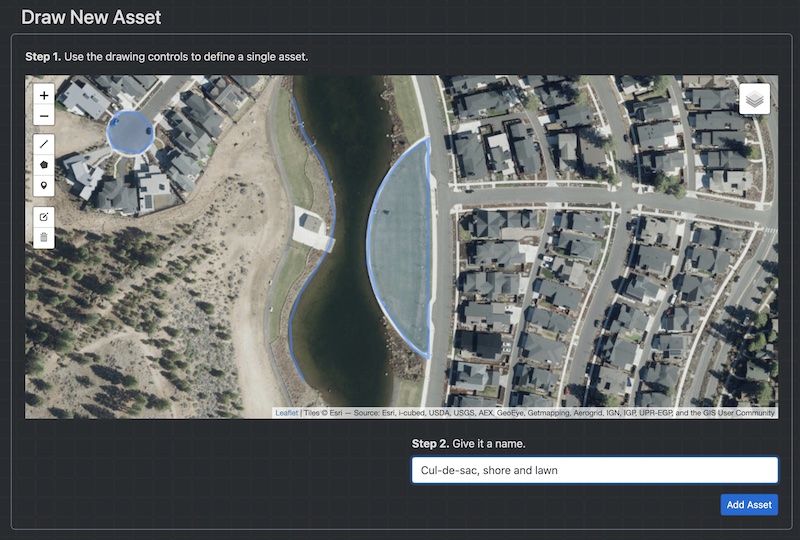
To add a new Asset, go up to the top menu and select 'Draw New Asset' under the 'Add Data' heading.

Then use the tools on the left of the map to add linestrings, polygons and markers. Give the Asset a name and hit the 'Add Asset' button.
This will show you the new Asset's Asset Detail page. Hovering over each feature or its icons at the bottom of the screen will bring up an option to do an Image Search on that particular feature. On the right there is some basic information about the Asset. The name can be edited after the fact.

To change the color of the Asset click on the 'Manage' tab and select a new color. You can also edit the Notes, control whether the Asset is Public or not, add Tags and assign it to a Project you have access to from the 'Manage' tab.

